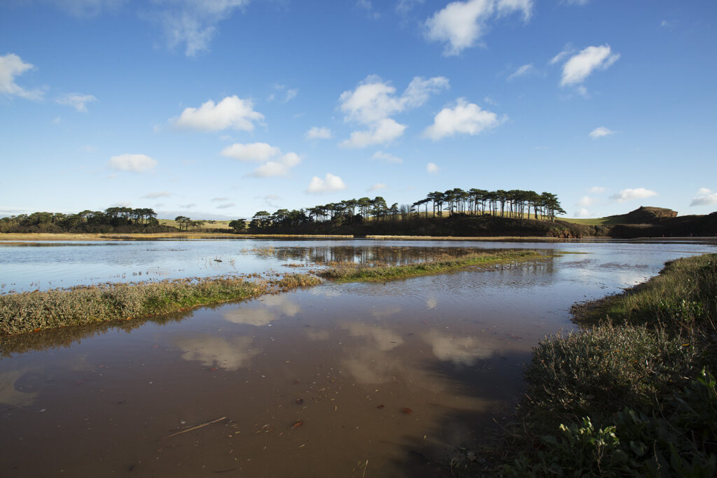


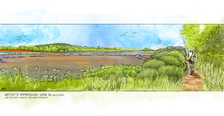
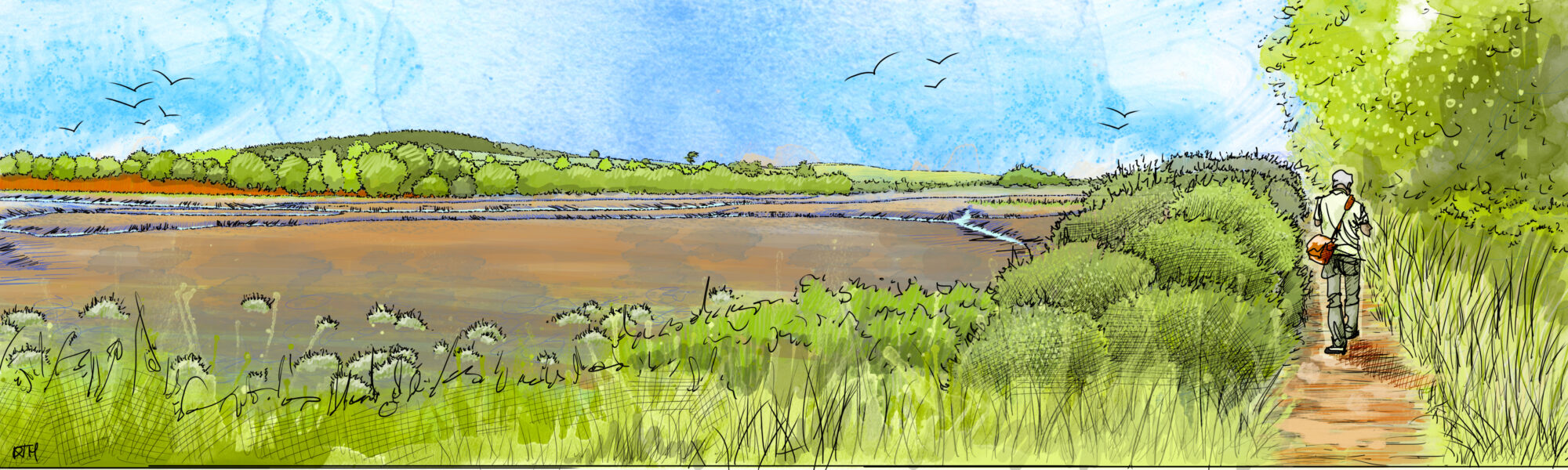
The Lower Otter Estuary meets the sea at Budleigh Salterton in East Devon. The estuary, along with the cliffs of Otterton Point, is a nationally important site for biodiversity and is designated as a Site of Special Scientific Interest (SSSI). It contains a range of intertidal habitats including saltmarsh and tidal creeks. The current area of the SSSI is 33 hectares but the estuary itself was once much larger. Next to the estuary – and once part of it – is an extensive area of freshwater grazing marsh, while the mouth of the estuary is largely closed by a shingle bar which has changed little over hundreds of years.
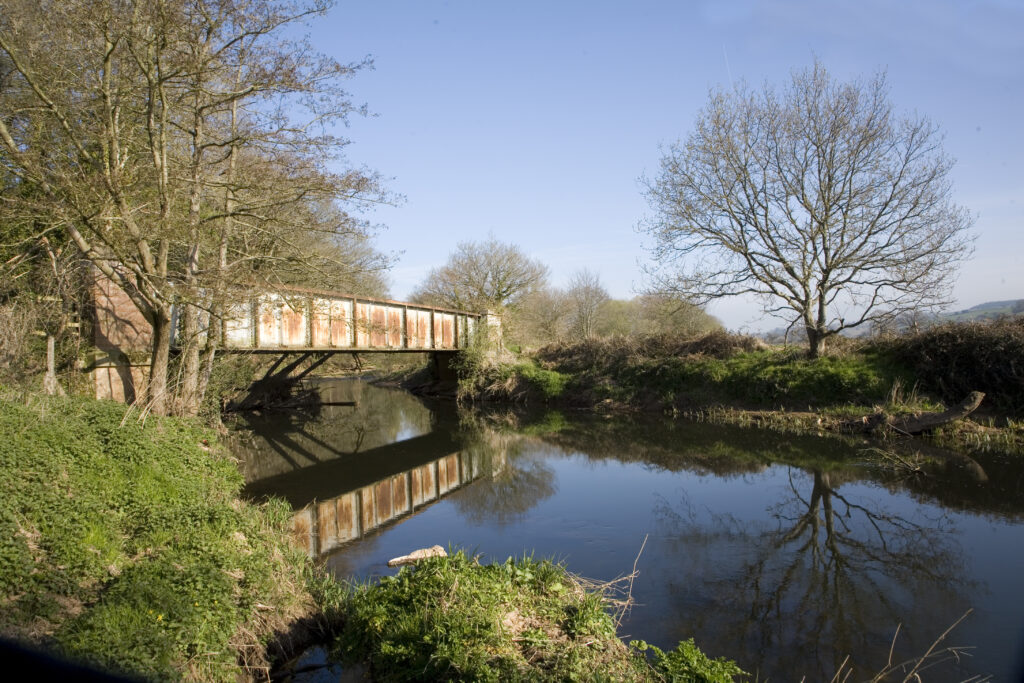
The natural environment of the River Otter and its estuary has, for hundreds of years, been modified by humans. In the early 19th century an embankment was built to claim land for agriculture. This enclosed about three-quarters of the original extent of the estuary, turning intertidal habitats from mudflat and saltmarsh into agricultural land. The river was also straightened and disconnected from its floodplain. Further alterations to the river and its floodplain took place with the construction of an aqueduct, a refuse tip, and the railway which arrived in 1897.
The overall results of all these changes is a disruption of natural processes with the river no longer able to adapt and move naturally across the floodplain as it once did. Nor can it cope effectively with flooding events. The natural environment itself is also poorer, resulting in reduced biodiversity and lower-quality habitats, and there is a constant need for costly infrastructure maintenance.
Manmade changes to the river and estuary mean the flood flows after heavy rainfall cannot pass down the river channel to the estuary. Water spills into the remaining floodplain but then backs up until it can overtop the embankment across the floodplain. Prolonged deep flooding of fields, Budleigh Salterton Cricket Club and South Farm Road follows because the outfall of the only land drain lies below the high tide mark.
Climate change, with increasing storminess and changing weather patterns, means that these floods are becoming more frequent, while rising sea levels also mean that the embankments are more likely to be overtopped at high tide. Damage to infrastructure as a result of flooding is already on the increase. There is a significant risk that a future major flood or extreme tidal event could lead to catastrophic failure of embankments, with unpredictable impacts on the environment. Such an event would also compromise one of the most heavily used public footpaths in Devon, and a public highway to South Farm.
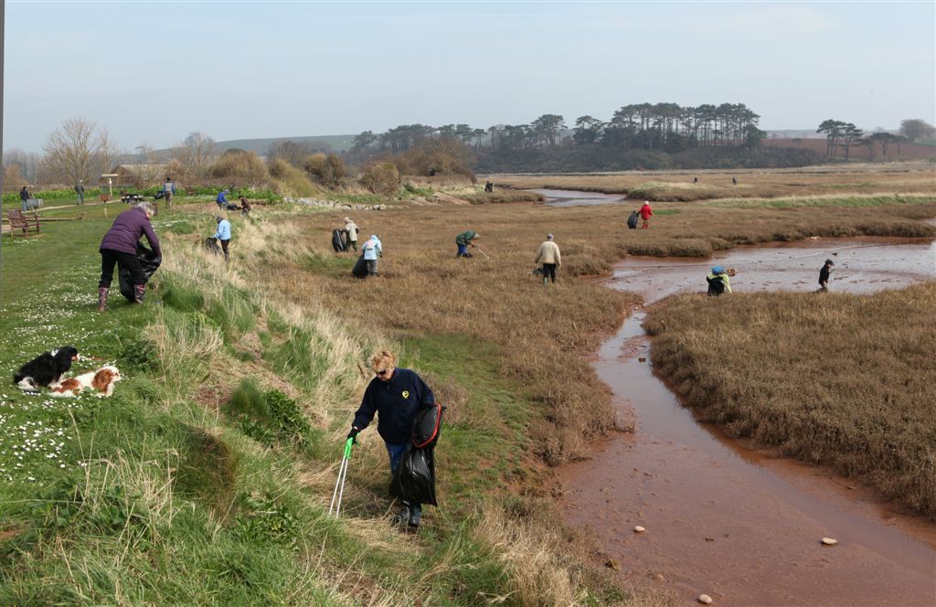
Erosion of embankments, river banks and footpaths, as well as clearance of drainage outfalls, place increasing financial demands on those responsible for them, including Devon County Council and East Devon District Council. Maintaining the status quo is becoming ever more difficult and there is a common desire for a more sustainable way forward
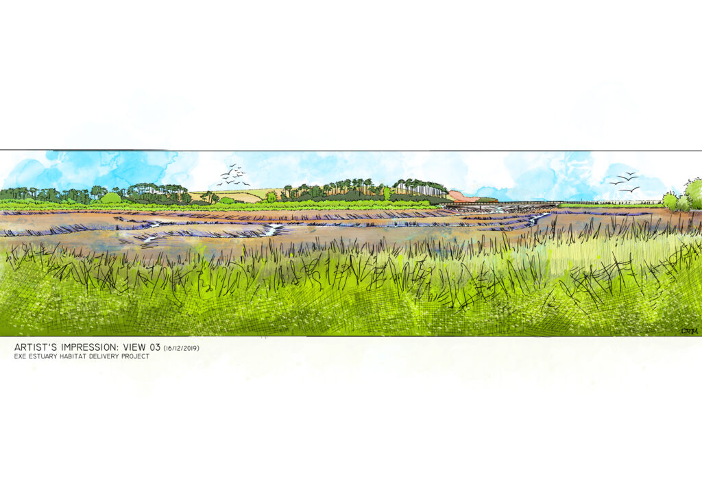
There is a strong argument for a pre-emptive and planned approach to climate change, leading to managed realignment of the existing embankments. This could both secure long-term future public access and allow natural processes to re-assert themselves, leading to new benefits for people and wildlife.